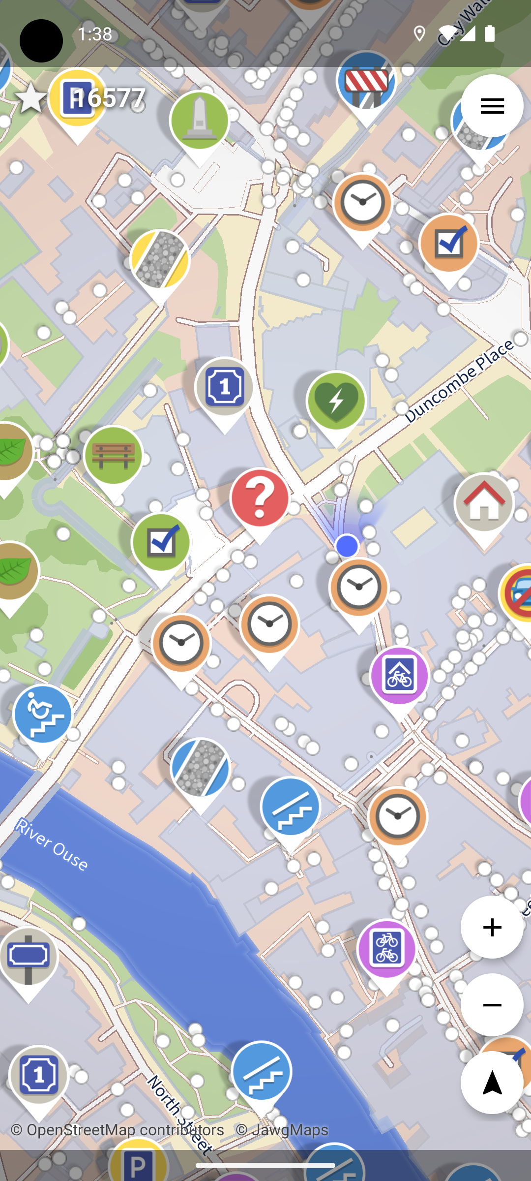
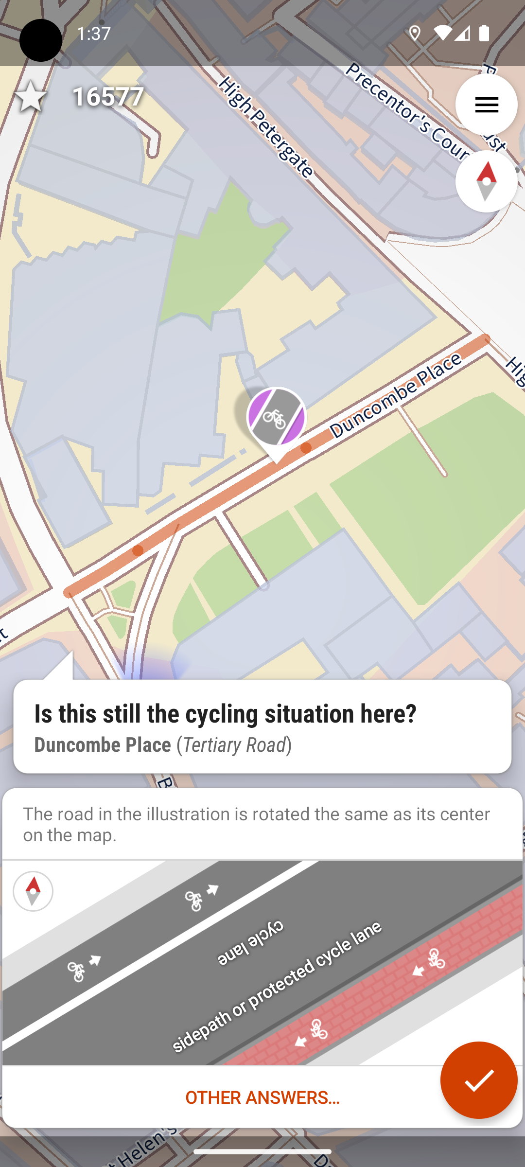
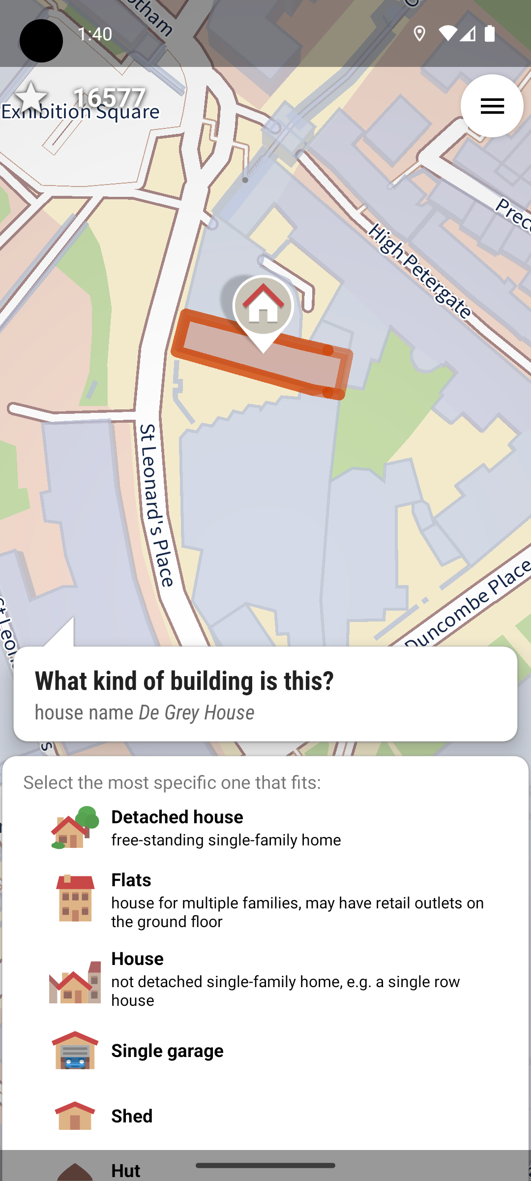
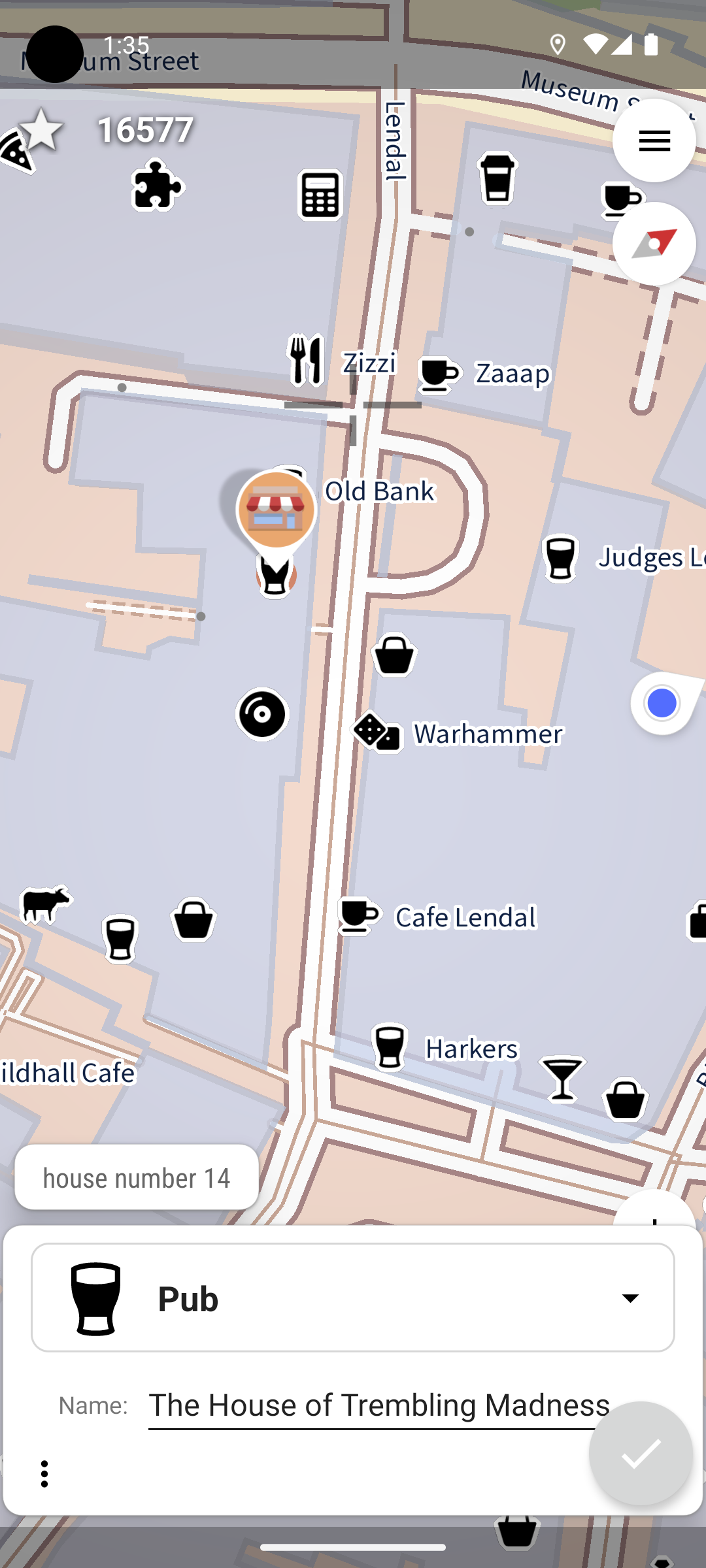
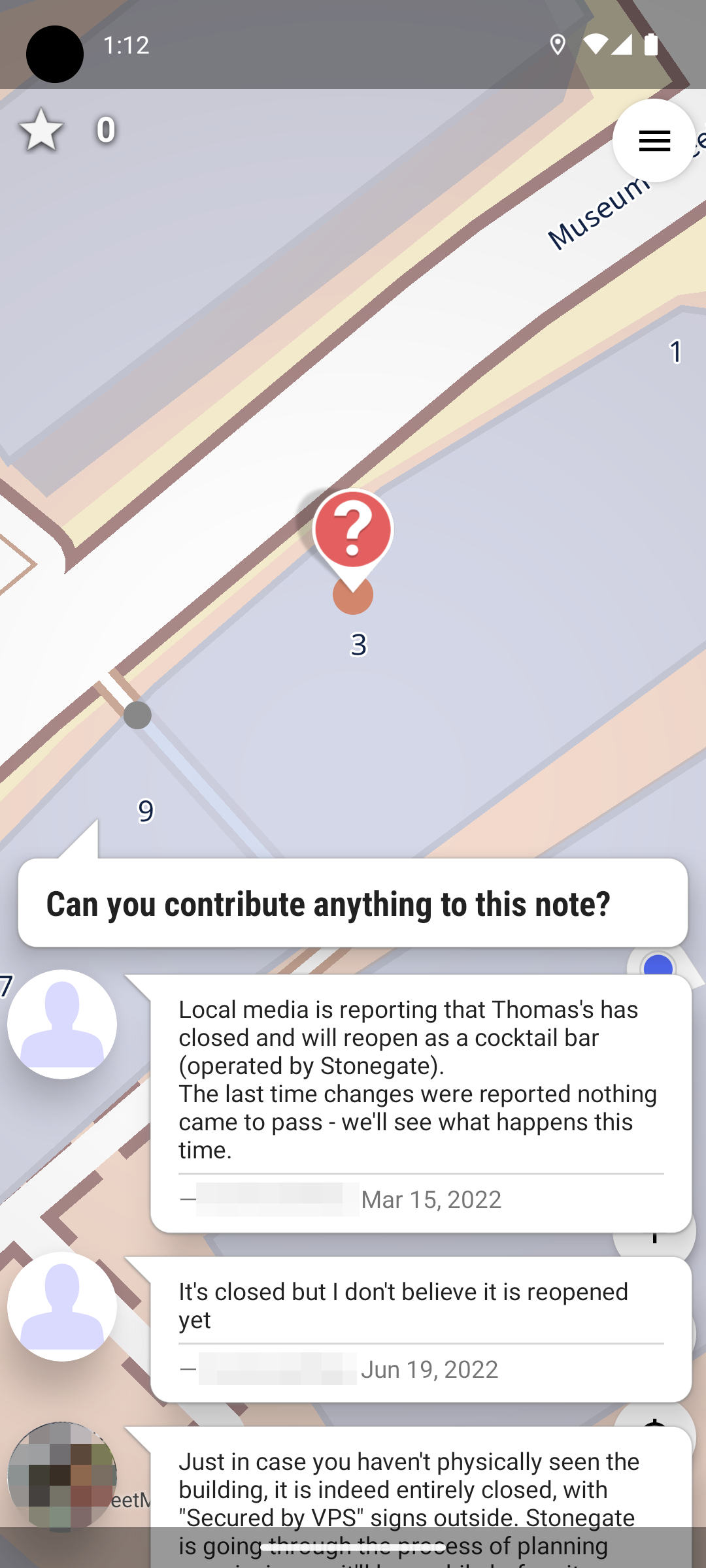
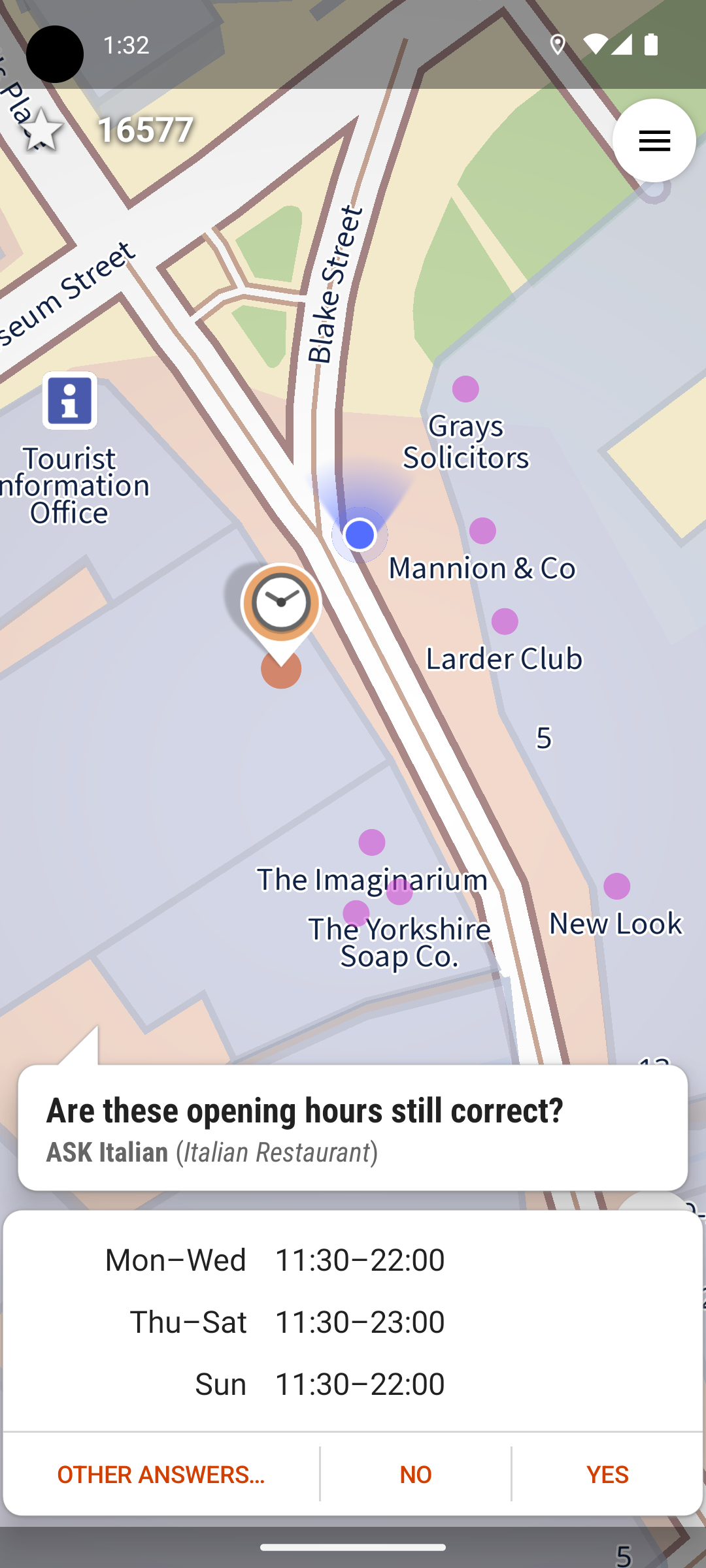
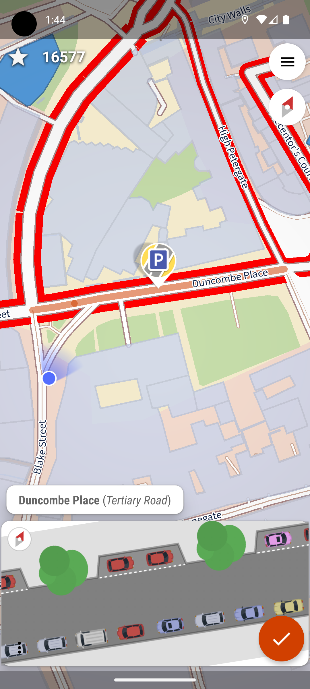
Easy to use OpenStreetMap editor for Android
4.7k
Stars
429
Forks
131
Open issues
30
Contributors


AI Analysis
StreetComplete is an Android app that democratizes OpenStreetMap editing by presenting location-based survey tasks as simple questions, requiring no OSM knowledge. It's specifically designed for fieldwork contributors and casual mappers who want to improve OSM data on-site without understanding complex tagging schemes; it's not suitable for advanced schema design or bulk programmatic edits.
Inferred from signals mentioned in the README (tests, CI, type safety) — not a review of the actual code.
AI's overall editorial judgment — not an average of the bars above, can weigh other factors too.
Focused Android surveyor for OpenStreetMap; makes OSM editing accessible without tagging knowledge
StreetComplete is an Android app that gamifies OpenStreetMap contribution by presenting location-based survey questions ("What is this road's name?") to users on-site, converting answers into OSM edits automatically. Built for non-technical contributors, it reduces friction to entry compared to traditional OSM editors. Real-world adoption appears concentrated in active OSM communities, supported by institutional funding (NLnet grants) and a multi-year active development cycle. Not a mass-market tool, but appears to be the dominant specialized surveyor for mobile OSM work.
Launched July 2016 as a focused alternative to full-featured but complex OSM editors. Evolved from a single-developer project (westnordost) into a sponsored open-source project with NLnet Foundation backing (2019–2025). Shifted focus from general OSM editing to structured data collection via gamified quests, establishing a distinct niche within the OSM ecosystem.
Steady, non-viral adoption pattern: 4,687 stars over 10 years indicates sustained but modest mainstream GitHub visibility. Recent spike (+86 stars in 7 days as of 2026-07-08) may reflect announcement of iOS multiplatform migration (funded by 2025 NLnet grant). Growth appears driven by: (1) institutional backing reducing feature lag, (2) quest-based UX that lowers barrier vs. iD/JOSM, (3) targeted OSM community engagement rather than horizontal scaling.
Adoption not formally quantified in README, but indirect signals suggest real use: (1) distribution on Google Play and F-Droid (mainstream Android channels), (2) wiki documentation (de.wiki.openstreetmap.org/wiki/StreetComplete) indicating OSM community integration, (3) institutional funding from NLnet (requires demonstration of impact to justify grants), (4) changesets mentioned in README suggest active upload volume to OSM database. Specific user/changeset counts not provided; adoption appears concentrated in European OSM communities and organized mapping projects rather than global mass adoption.
Kotlin-based Android app (likely using modern Android framework given Kotlin choice and 10-year maintenance window). README indicates offline capability and economic data usage, suggesting efficient tile caching and API batching. Appears modular in quest types (community wiki documents extensible quest system). Architecture likely favors single-platform mobile, now pivoting to multiplatform (Compose Multiplatform mentioned in 2025 NLnet grant).
Not documented in README. Contribution guidelines mention testing and reporting issues but no test coverage metrics or CI/CD pipeline visibility.
Last push 2026-07-08 (same day as evaluation) indicates active development. Repository created 2016-07-02; 10-year tenure shows sustained commitment. NLnet sponsorship active through 2025 with explicit grant for multiplatform migration suggests funded roadmap through 2026–2027. Multiple revenue channels (GitHub Sponsors, Liberapay, Patreon) indicate community financial support. Issue-driven development with wiki-managed quest catalog suggests responsive maintenance model.
ADOPT IF: you are part of organized OSM mapping project, surveying on-site for structured data (road names, opening hours, building heights), want to lower barriers for non-technical contributors, or prefer mobile-first editing. AVOID IF: you need comprehensive OSM tagging, desktop editing, or cross-platform desktop support (iOS support pending in 2026–2027). MONITOR IF: you are evaluating mobile OSM tools; upcoming multiplatform migration may expand iOS adoption and shift positioning.
Independent dimensions
Mainstream potential
3/10
Technical importance
6/10
Adoption evidence
5/10
- Adoption appears limited to organized OSM communities; unclear if mass-market mobile user penetration is realistic or intended.
- Single-language codebase (Kotlin) and small core team (primary developer westnordost + contributors) may face scaling challenges if demand increases post-iOS launch.
- Dependent on external services (JawgMaps for tiles, NLnet institutional funding); tile provider change or funding disruption could impact service continuity.
- Quest design requires ongoing curation and validation; low-quality or localized quests could degrade data quality over time without governance.
- iOS migration timeline (2025 grant) may slip; if delayed, project risks perception of stagnation despite active Android development.
Likely to stabilize as specialized mobile OSM surveyor with growing iOS presence by late 2026–2027. May see uptake in organized mapping campaigns (humanitarian, city planning) but unlikely to become general-audience app. Institutional funding may wane post-2025, shifting to community-sustained model; viability then depends on volunteer contribution pipeline.
Newsletter
Get analyses like this every Monday
Free weekly digest of the most interesting open-source discoveries.
Languages
Information
- Website
- https://streetcomplete.app
- Language
- Kotlin
- License
- GPL-3.0
- Last updated
- 16h ago
- Created
- 122mo ago
- Analyzed with
- anthropic/claude-haiku-4-5
Stars over time
Contributors over time
Top 100 contributors only — repos with more will plateau at 100.
Open issues
Show neighbouring businesses and house numbers
The quest about the maximum height "below the bridge" is asked for a pipeline
Extentions to "What is this grill powered by?"
When adding branded fuel stations via the overlay, only the brand is added; the name is not
Implement surface=laterite
Top contributors
Recent releases
Similar repos
| Repository | Stars | Week Δ | Language | Score | Updated |
|---|---|---|---|---|---|
|
streetcomplete/StreetComplete
this
|
4.7k | +95 | Kotlin | 8/10 | 16h ago |
 osmandapp/OsmAnd osmandapp/OsmAnd
|
5.8k | — | Java | 7/10 | 20h ago |
 organicmaps/organicmaps organicmaps/organicmaps
|
14.7k | — | C++ | 8/10 | 14h ago |
 mapsforge/mapsforge mapsforge/mapsforge
|
1.4k | — | Java | 7/10 | 1w ago |
 sky-map-team/stardroid sky-map-team/stardroid
|
1.7k | — | Kotlin | 7/10 | 1d ago |
 massivemadness/Squircle-CE massivemadness/Squircle-CE
|
1.8k | — | Kotlin | 7/10 | 3w ago |
Desktop, full-featured, high learning curve; StreetComplete targets mobile + zero OSM knowledge. Complementary rather than competitive; JOSM users are different user segment.
Browser-based, requires OSM account/tagging knowledge; StreetComplete removes both barriers via quests. iD is broader in scope; StreetComplete is narrower, mobile-only surveyor.
Primarily offline maps + navigation; includes lightweight OSM editing but not primary focus. StreetComplete is edit-first; OsmAnd is consumption-first. Different primary audiences.
Full OSM tagging on mobile; requires OSM knowledge. StreetComplete abstracts tagging; Vespucci exposes it. StreetComplete likely captures easier, structured data; Vespucci for power users.
Web-based, also quest-driven, but appears broader/more configurable. StreetComplete is mobile-specific, more opinionated quest design. Likely serves complementary niches (web vs. mobile).